Apogeo Spatial has entered into a Strategic Partnership with Geospatial World, with relevant articles appearing in both publications.
Apogeo Spatial has been sharing vital Earth Science data and information for 35 years, originally as a newsletter called EO Sat Notes (Earth Observation Notes), then in the 2000’s as Imaging Notes magazine, when Blueline Publishing acquired it from then-Space Imaging. In 2013, the brand of Apogeo Spatial was created from this powerful legacy of sharing why governments, academia and enterprises would use remotely sensed data. For almost 20 years, we curated and created amazing content with stunning graphics, online and in print, until 2020.
The Apogeo Spatial mission is to communicate the power of geospatial tools and technologies in managing the world’s scarce resources and environment, so that humanity has the security of water, food, energy, safety and sovereignty.
- February 9, 2018
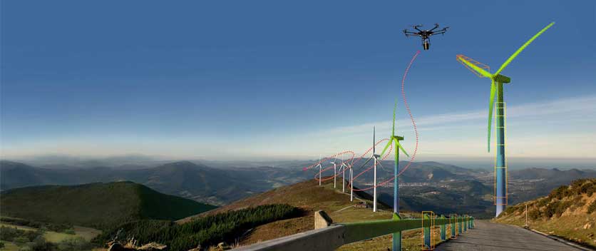
Integrated UAV + Lidar Solutions
Read moreLiDAR has been around since the early 1960s. In recent years, it has emerged as a key geospatial remote sensing technology: aerial and ground- based scanners are used routinely for mapping and to produce 3D models of cities, LiDAR…
12 - February 9, 2018

The Value of Space-Based Data
Read moreDear Readers,
Let’s start with art. A few months ago, I met Fawn Atencio, a Denver-based artist whose paintings look so much like photos of Earth that I was astounded, and inspired. Her work includes a message about a future… - February 3, 2018
An Essential Part of IoT
Read moreEnergy conservation and sustainability is a priority for governments and businesses in regions throughout the Americas, Europe, Middle East and Asia. Most existing infrastructure is old and obsolete. This is an obstacle to meet the rising expectations of government…
- January 31, 2018
Interpreting What We See
Read moreOur Perception of an object changes depending on how far or close we are and on how accustomed we are with it. During a recent visit to St. Petersburg, Florida, I spent several hours at the Dali Museum there….
- January 31, 2018
Geospatial Analytics-as-a-Service & Platforms
Read moreThe field of Earth Observation (EO) has seen two big changes in recent years: first, the massive increase in the number and variety of space-based sensors and, hence, the proportional increase in the amount and refresh rate (cadence) of…