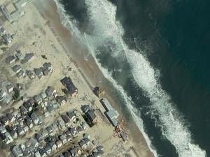
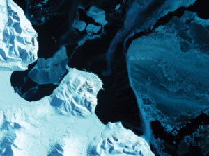
Apogeo, a word that combines the senses of moving out and of looking down at Earth, is very much an aspirational title. Imaging aircraft and satellites use their high altitude vantage points to look down in order to gain a synoptic view of our home planet. This sort of view is very much needed today, when humankind’s effects on the environment are so deep and widespread.
The topics covered in this issue are certainly reflective of the new title and emblematic of the type of coverage we intend to pursue. Apogeo will maintain the same high standards of quality graphics and in-depth, timely reporting of key developments in remote sensing applications that Imaging Notes has provided, and that you, our readers have come to expect. At the same time, Apogeo will strengthen its coverage of the use of aerial and satellite imagery to support human and environmental security topics, to contribute to long-term sustainability of the planet, and of course, of people.
The periodical will also step up coverage of the sustainability of the space environment in recognition that the many benefits we derive from space systems need to be protected and maintained, for as Filipe Duarte Santos of UN COPUOS notes, “One day without civilian satellites would bring chaos to the global human society.” Therefore, we will always advocate for Earth observations, including coverage of the space debris issue. Watch for an article about the Space Data Association in our Summer issue.
Both imaging technologies and the software needed for processing and interpreting imagery have greatly improved in the past few years. One of the most important developments, reported by Matteo Luccio, has been the marriage of GIS and remotely sensed data to create sharply defined analytical products that are much more than just a pretty picture. Read about “GIS + RS”.
Kevin Corbley highlights another important trend his article, Astrium Services—how companies like Astrium are developing all products and services that their clients need, so clients can get end-to-end solutions from one company. One application is using their radar assets for maritime security.
In recent years, experts have become increasingly convinced that humankind needs to become better stewards of the environment and to actively manage the planet in order for humans to continue to thrive. Apogeo plans especially to emphasize the utility of remotely sensed data to support Earth sustainability. Dr. Filipe Duarte Santos’ thoughtful article Space Systems for Sustainable Development provides a concise overview of the sorts of topics that we plan to bring to the magazine, from analysis of climate and global change to the insecurity of our food, water and energy.
In addition, we have formed the Location Media Alliance in order to bring you publications covering the ecosystem of remote sensing, from data collection and processing (Apogeo and Sensors & Systems) to end users (Informed Infrastructure for city planners and the built environment, Asian Surveying & Mapping for that geographic region of the world, and LBx Journal for the business user). The quarterly themes of food, water, energy and security will be covered in all five publications. In this issue, water tracking via satellite is covered here.
We truly hope you enjoy and find compelling this inaugural issue of Apogeo. It is our pleasure to bring it to you.
Sincerely,
Ray Williamson, PhD, Editor


