Apogeo Spatial has entered into a Strategic Partnership with Geospatial World, with relevant articles appearing in both publications.
Apogeo Spatial has been sharing vital Earth Science data and information for 35 years, originally as a newsletter called EO Sat Notes (Earth Observation Notes), then in the 2000’s as Imaging Notes magazine, when Blueline Publishing acquired it from then-Space Imaging. In 2013, the brand of Apogeo Spatial was created from this powerful legacy of sharing why governments, academia and enterprises would use remotely sensed data. For almost 20 years, we curated and created amazing content with stunning graphics, online and in print, until 2020.
The Apogeo Spatial mission is to communicate the power of geospatial tools and technologies in managing the world’s scarce resources and environment, so that humanity has the security of water, food, energy, safety and sovereignty.
- May 31, 2015
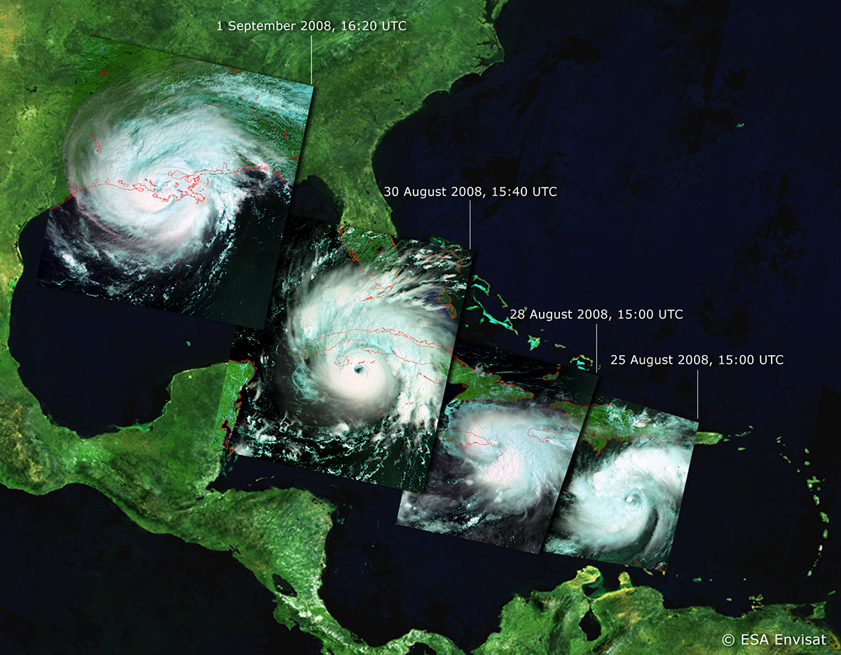
The Slowly Developing Disaster of Sea Level Rise
Read moreIn 2013, James Balog’s presentation at the scince policy conference of the American Geophysical Union (AGU) in Washington, D.C., motivated me to think about humanity as a planetary accident, causing the sixth major mass extinction event in Earth’s long…
0 - May 31, 2015
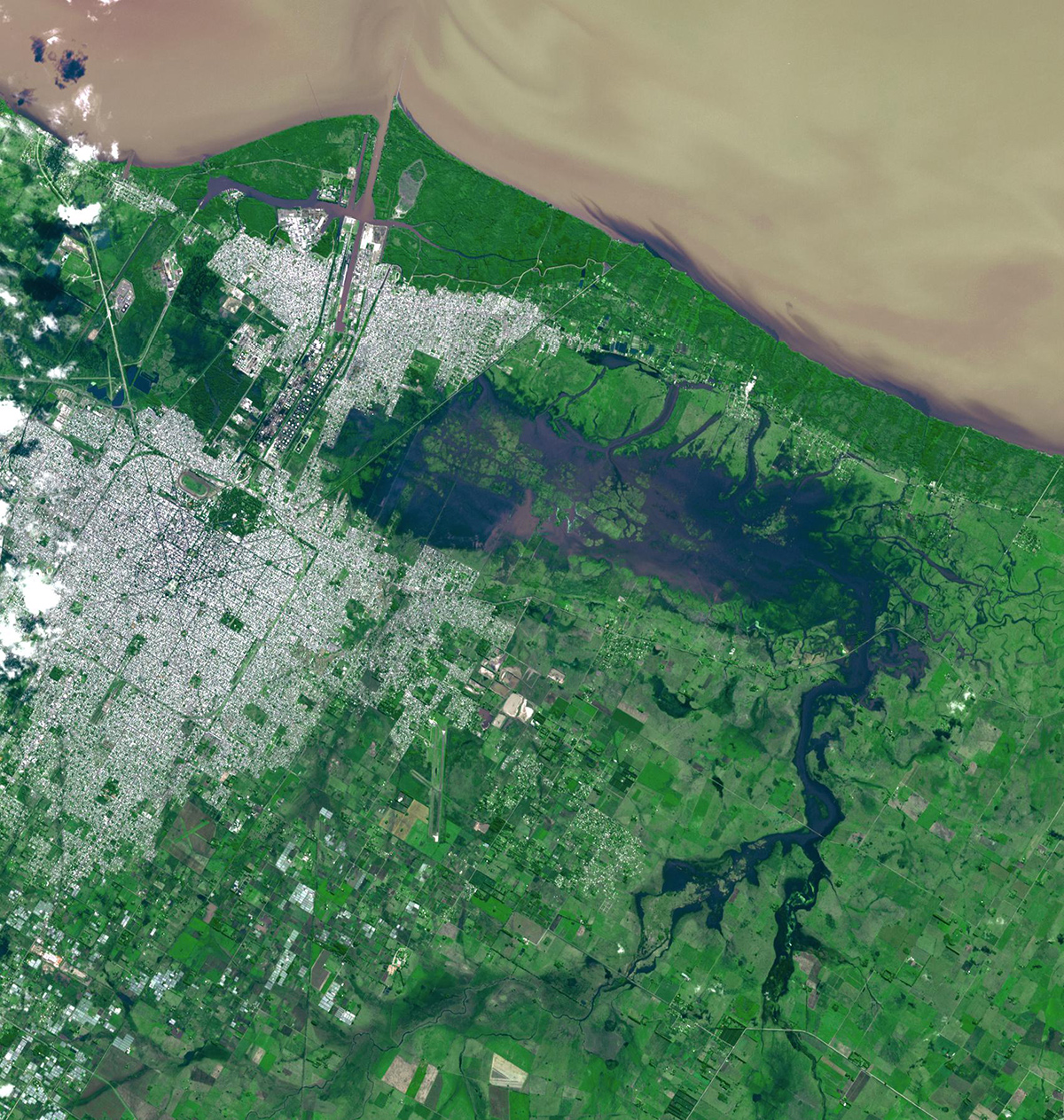
Landsat & Google Earth Engine Prove Valuable to Scientific Community
Read moreHow things have changed since Landsats 4 & 5 were launched in the early 1980s, about the time I began working on analyzing space policy issues for the U.S. Congress. In those days the community that depended on data…
- May 31, 2015
Inspiration Comes in many Forms
Read moreWith this issue, Blueline Publishing marks the beginning of the eleventh year of publishing Apogeo Spatial (formerly Imaging Notes). The past 10 years have been an exciting ride as the magazine continues to document the amazing steps forward that…
- October 6, 2014
UNOOSA’s Commitment to Earth Observations
Read moreSpace-based technologies and data are vital to the goal of global sustainable development, a fact that is well-recognized by a myriad of international bodies and through important conferences, none more so than the United Nations Conference on Sustainable Development…
- October 6, 2014
Accurate Ground Control
Read moreEarth Observation Satellites are typically defined by the spatial resolution of the imagery they collect. While resolution – the ability to differentiate small features on the ground – is undeniably important, the absolute geometric accuracy of acquired image data…